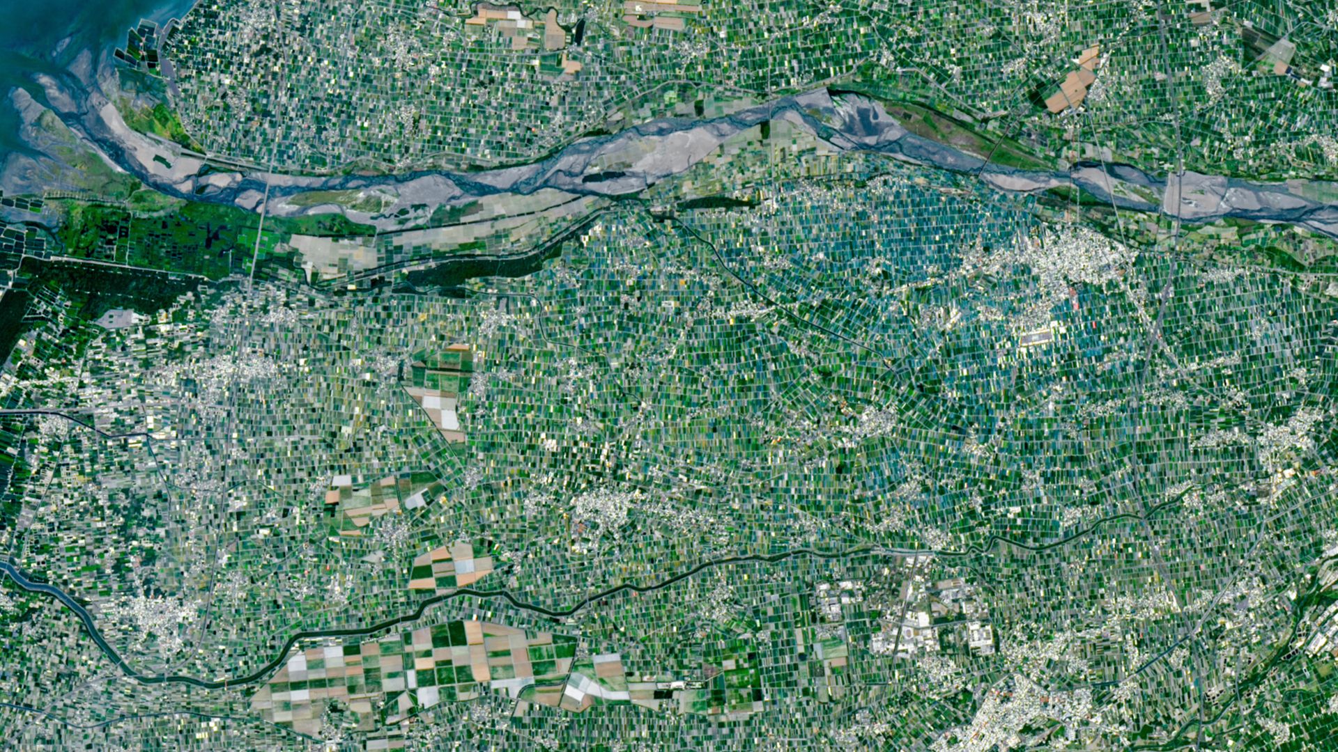
QUICK FACTSWhere is it? Yunlin County, Chianan Plain, Taiwan [23.78563273, 120.44373747]What's in the photo? A multicolored 'mosaic' of small, tightly compacted farmsWhich satellite took the photo? Landsat 9When was it taken? April 24, 2026This recent satellite snap shows off a multicolored "mosaic" of tightly packed mini farms covering part of Taiwan in the western Pacific Ocean. The sea of fields and shade nets demonstrates the scale of the agricultural challenges facing the densely populated island. Taiwan is 14,000 square miles (36,000 square kilometers) — about the same size as Maryland — but has a population around four times as large, with approximately 23 million people living there,...
Multicolored 'mosaic' of mini farms surrounds Taiwan's largest river — Earth from space
Original Source
This article was collected from: Live Science
Gabeshana News automatically collects article information
from external RSS/Atom sources. The original article remains
available at the source website. Please visit the original
source for the complete article and the latest information.